
Published by Guy Liebert, Droneview.be — EASA-certified drone pilot with 30 years of experience.
More and more contractors, property developers and government bodies are asking the same question: can a drone replace the traditional land surveyor? The answer is nuanced — but what is certain: a professional drone survey delivers measurement data faster, cheaper and safer than ever before.
In this article, I explain what drone surveying exactly entails, when you can benefit from it, and what the difference is with a certified land surveyor.
→ Site Efficiency & Digital Surveys
→ Periodic Construction Monitoring & Site Tracking
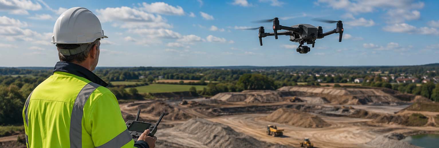
What is drone surveying?
Drone surveying — also called drone mapping, aerial survey or photogrammetric measurement — is the process of mapping a terrain, construction site or object using aerial photos taken by a drone.
The drone flies a systematic pattern over the area to be measured. The images have significant mutual overlap, allowing specialised software to calculate an accurate 2D orthoplan or 3D terrain model.
At Droneview.be, we use the DJI Matrice 30T — an industrial drone with RTK precision (Real-Time Kinematic GPS). This means centimetre-accurate positioning without ground personnel on site.
Continue reading “Drone Survey in Belgium: What Can a Certified Drone Pilot Do For You?”