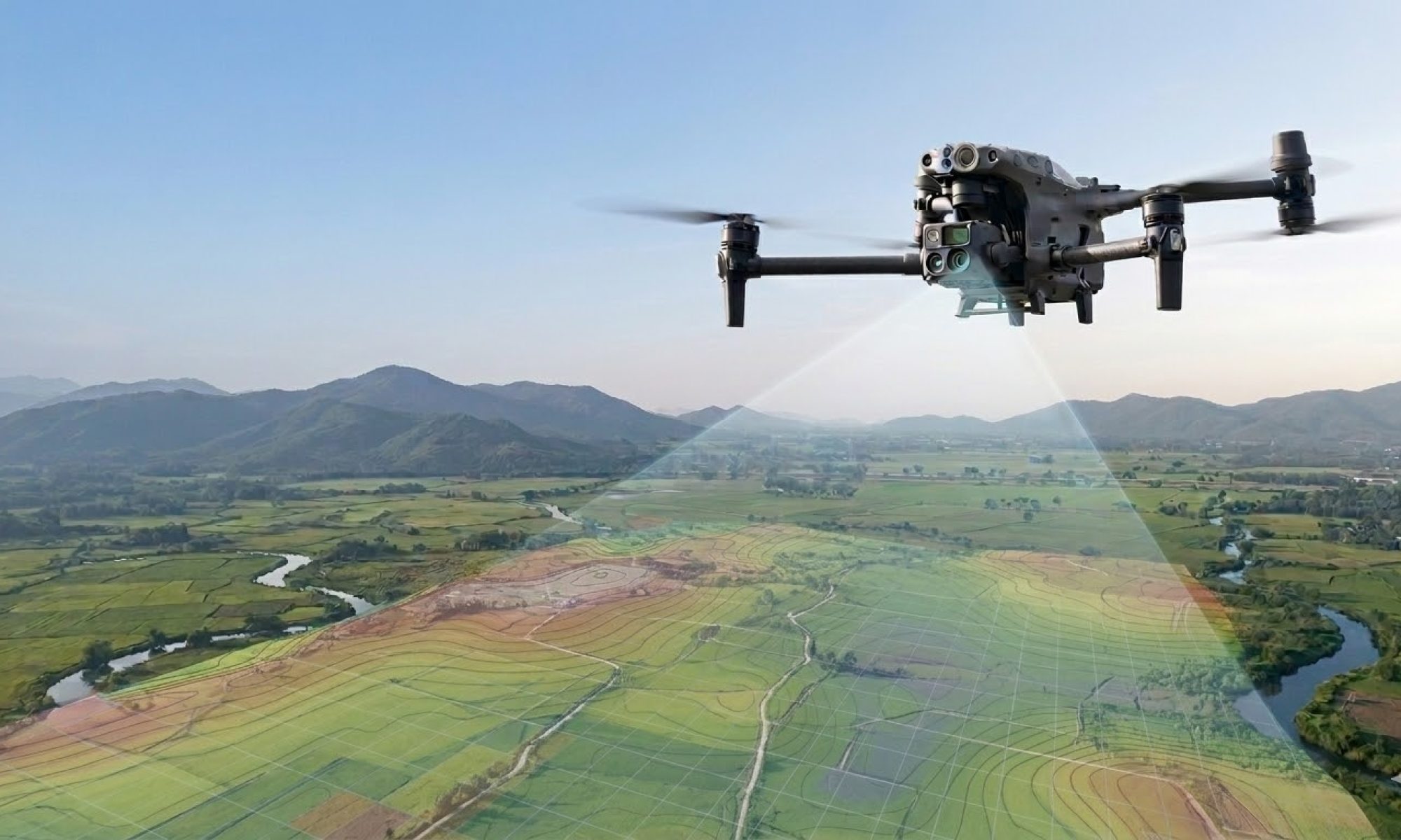
Periodic Construction Monitoring & Project Supervision with Drones
At Droneview.be, we provide contractors, developers, and architects with an “eye in the sky.” Our periodic drone surveys ensure flawless digital documentation of your construction project’s progress, from the initial ground-breaking to final delivery.
Why choose periodic site monitoring?
- Efficiency: Inspect the status of multiple sites from your office and save valuable travel time.
- Clear Communication: Share up-to-date, high-resolution aerial photos directly with partners, subcontractors, and clients.
- Marketing & Branding: Create impressive construction time-lapse videos for your portfolio and social media.
- Reliable Documentation: Build a historical overview of all construction phases, essential for insurance and handover.
Weekly Progress Overview with RTK Precision
Consistency is key to effective construction monitoring. By utilizing advanced RTK technology (Real-Time Kinematic), our drones fly the exact same flight path every session with millimeter precision.
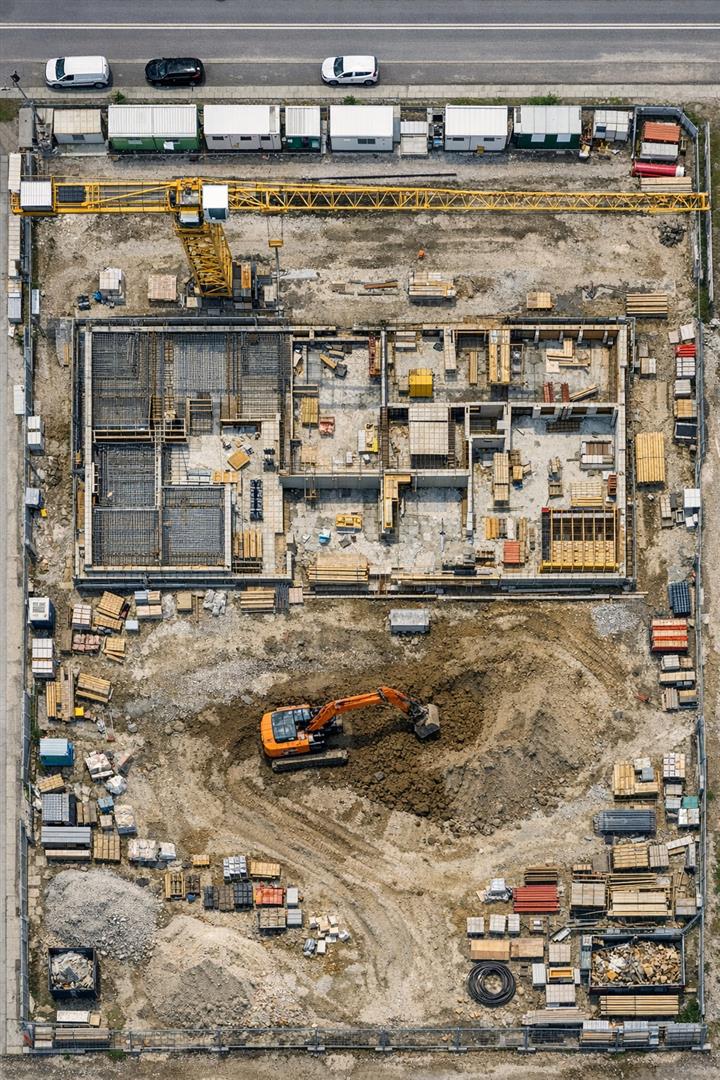
This results in a stable and detailed visual overview, allowing you to seamlessly compare progress week by week.
Automated Flight Planning & 3D Mapping
For complex projects, we use automated mission planning via DJI FlightHub 2. This allows us to execute complex 3D mapping missions that are always reproducible.
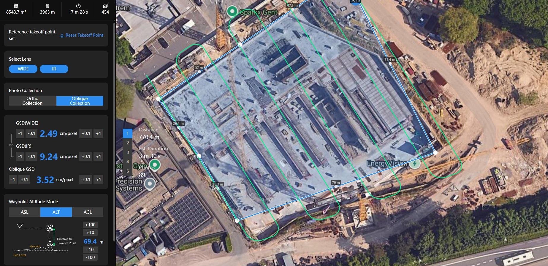
From Site Pre-survey to Completion
Professional monitoring starts before the first stone is laid. We perform a detailed pre-construction survey (baseline measurement) of the entire site and its surroundings. This serves as crucial evidence in case of later disputes regarding environmental damage.
Throughout the structural work, finishing, and landscaping, we remain your data partner. The result? A complete digital twin of your construction process.
Digital Survey Data: Orthophotos & 3D Models
Beyond visual photography and video, we deliver measurable data. Our orthomosaics are georeferenced maps that allow you to measure distances and areas directly within your CAD or BIM software. Our 3D scans make it possible to compare the actual progress (as-built) directly against the original design drawings.
Ready to take your construction project to the next level?
Receive a non-binding proposal tailored to your project within 24 hours.