
Published by Guy Liebert, Droneview.be — EASA-certified drone pilot with 30 years of experience.
More and more contractors, property developers and government bodies are asking the same question: can a drone replace the traditional land surveyor? The answer is nuanced — but what is certain: a professional drone survey delivers measurement data faster, cheaper and safer than ever before.
In this article, I explain what drone surveying exactly entails, when you can benefit from it, and what the difference is with a certified land surveyor.
→ Site Efficiency & Digital Surveys
→ Periodic Construction Monitoring & Site Tracking
What is drone surveying?
Drone surveying — also called drone mapping, aerial survey or photogrammetric measurement — is the process of mapping a terrain, construction site or object using aerial photos taken by a drone.
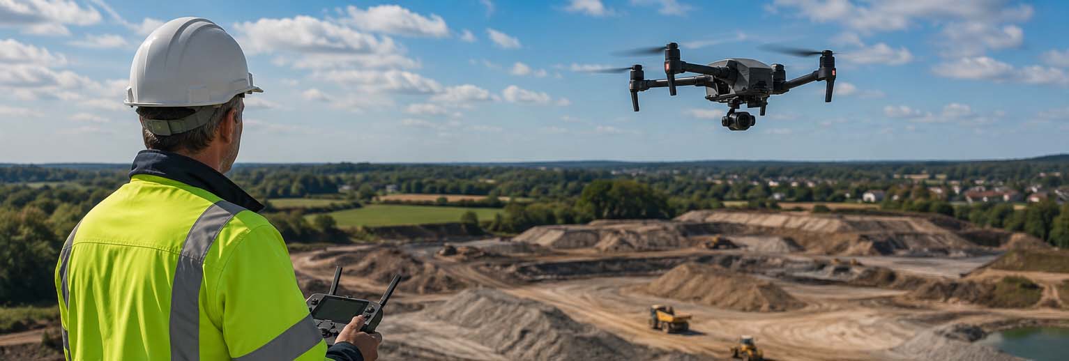
The drone flies a systematic pattern over the area to be measured. The images have significant mutual overlap, allowing specialised software to calculate an accurate 2D orthoplan or 3D terrain model.
At Droneview.be, we use the DJI Matrice 30T — an industrial drone with RTK precision (Real-Time Kinematic GPS). This means centimetre-accurate positioning without ground personnel on site.
Drone survey vs. traditional land surveyor: what’s the difference?
| Aspect | Traditional surveyor | Drone survey (Droneview.be) |
|---|---|---|
| Speed | Days to weeks | A few hours to 1 day |
| Cost | High (hourly rate + fieldwork) | Significantly lower |
| Difficult terrain | Limited accessibility | No problem — drone goes anywhere |
| Accuracy | Millimetre (official) | 1-3 cm XY with RTK |
| Legal value | Official and sworn | Technical report (not sworn) |
| Volume calculation | Possible but time-consuming | Fast and accurate |
| Repeat measurements | Expensive and time-consuming | Ideal — weekly possible |
Important nuance: a drone pilot is not a certified land surveyor. For official boundary determination or legal cadastral plans, you still need a sworn surveyor. For everything related to volume calculations, site monitoring, terrain analysis and 3D modelling, a drone survey is faster, cheaper and at least as accurate.
When should you choose a drone survey?
Earthworks and volume calculations
How many cubic metres of sand, gravel or earth are on your site? A traditional measurement takes half a day. A drone flies over in 20 minutes and delivers an accurate stock report. Ideal for weekly earthwork balance on large infrastructure projects.
Terrain survey for planning permission
A detailed orthoplan or elevation point cloud of your plot as a basis for your architect or engineering office. Faster and cheaper than a classic survey for non-legal purposes.
Periodic site monitoring
Document every phase of your construction project from the air. From first groundbreaking to handover — a complete site survey every week or month.
Difficult access terrain
Steep slopes, deep pits, industrial sites with hazardous zones — a drone goes everywhere a person cannot safely go. No scaffolding, no risk.
Cadastral pre-survey
As preparation for an official surveying assignment, a drone orthophoto provides the surveyor with valuable preliminary information. This saves time and money on the final sworn survey.
What does a drone survey deliver?
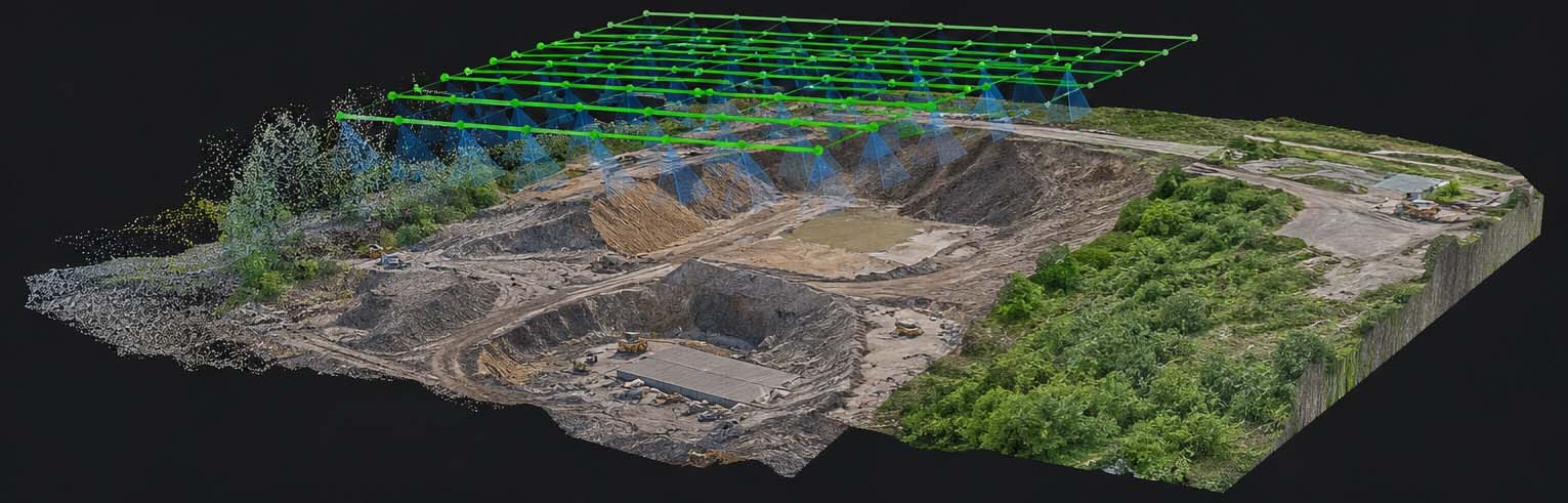
- Orthophoto plan — an accurate bird’s eye view of your terrain, corrected for perspective and height differences
- Digital Terrain Model (DTM) — a 3D representation of altitude variations on your terrain
- Point cloud — millions of measurement points with XYZ coordinates, usable in CAD and GIS software
- Volume report — accurate calculation of stockpiles, earthworks or excavations
- Time-lapse and progress report — for periodic site monitoring
Accuracy: what can you expect?
With the DJI Matrice 30T and RTK GPS, we achieve:
- Horizontal accuracy (XY): 1 to 3 cm
- Vertical accuracy (Z): 3 to 5 cm
- Volume accuracy: ±1% for a correctly executed flight
— Guy Liebert, Droneview.be
EASA certification: why it matters
In Belgium and across Europe, commercial drone flying is strictly regulated. Droneview.be is fully EASA certified (A1/A3 and A2) and operates in accordance with Belgian aviation law.
- All flights are 100% legal
- We file the necessary Skeyes approvals
- We can fly in populated areas and above construction sites
- Your project is covered by professional public liability insurance
When do you still need a certified land surveyor?
- Official boundary determination of plots
- Cadastral plans with legal value
- Survey plans for building permits requiring a sworn signature
- Expropriation procedures and judicial expert assessments
What does a drone survey cost in Belgium?
Droneview.be works with transparent pricing. Check our rates page or request a free quote. We respond within 24 hours.
Ready for your drone survey?
Droneview.be is your certified partner for drone surveying, volume calculations and site monitoring across Belgium.