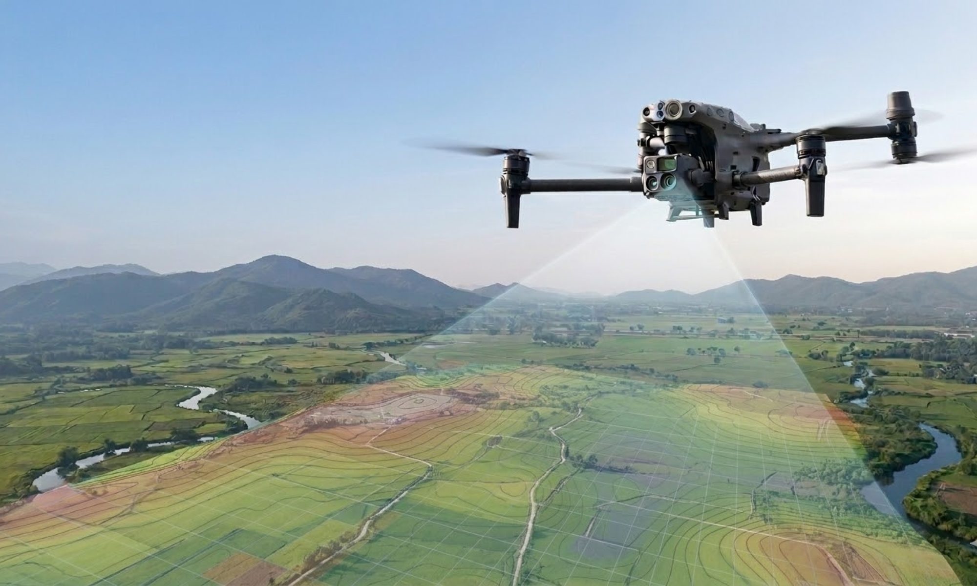
Thermal Imaging with Drones: Visualize Heat Loss
Droneview.be maps energy loss and insulation issues in buildings with precision — fast, accurate, and in full compliance with the strictest aviation regulations.
At Droneview.be, we deliver high-quality thermal drone inspections for local authorities (cities, municipalities, and intermunicipal organizations) as well as private homeowners and businesses. Using advanced radiometric thermal cameras, we make invisible heat leaks, thermal bridges, and insulation defects in roofs and facades visually tangible.
The collected data is presented in an online, interactive environment. This provides the ideal foundation for targeted renovation decisions, energy savings, and effective awareness campaigns.
Your Certified Partner for Thermography
EASA-certified pilot · Skeyes-compliant (official flight authorizations) · DJI Matrice industrial hardware · High-res thermal sensor · Secured image portal · 100% GDPR-proof
Who are our district and building scans for?
Cities, Municipalities & Intermunicipal Organizations
Utilize thermography as an accessible tool to activate citizens toward energy-efficient living. From a targeted survey in a specific neighborhood to large-scale, multi-year scanning programs: our concept is fully scalable to meet the needs of any local government.
- Fully managed process: From citizen communication to data processing.
- Interactive dashboard: Master access for energy advisors and project managers.
Individuals & Businesses
Want to know exactly where heat is escaping from your home or commercial property? Droneview.be performs targeted, individual building inspections. A drone reaches roofs and high facades quickly and safely, without the need for scaffolding or ladders.
- Complete building envelope visualized: Targeted thermal captures of all critical heat loss surfaces.
- Detailed analysis: Identification of hidden defects in insulation or joinery.
- Private and secure: Your images are exclusively accessible to you via a unique code.
Before & After: see the difference
Drag the slider to compare the thermal image with the regular photo of the same building.
How does a thermal drone inspection work?
From thorough preparation to actionable results — Droneview.be guides you through the entire process.
1. Planning and official approvals
Every flight is meticulously prepared in advance. Droneview.be is fully certified in accordance with European and Belgian legislation. Where necessary, we submit mandatory flight applications through official channels (such as the Skeyes platform), ensuring flights in controlled airspace or over residential zones are always 100% legal and safe.
2. The flight: the ideal measurement window
Thermography requires specific weather conditions for reliable results: a significant temperature difference between indoors and outdoors, and a dry building envelope. The ideal measurement period runs from November through February.
To minimize neighborhood disturbance and safeguard privacy, we focus on overcast winter days, early morning hours, or early evenings. Direct sunlight during the day is avoided, as it heats up the facades artificially. For collective neighborhood projects, previously submitted opt-outs are strictly respected and skipped.
3. Radiometric data processing
The captured images are not just photos; they are high-grade radiometric files. This means the exact temperature data is embedded in every single pixel. After the flight, we carefully structure and process this data per address.
4. Secure portal for results
The data is made available online through a professional, cloud-based web application.
- For the citizen: Logs in securely with a personal code and gets insight exclusively into their own home.
- For the administration: Receives an overarching dashboard (for district projects) to analyze results per zone efficiently.
5. Evaluation and advice
The visual power of a thermal scan speaks for itself. The images form the perfect, objective basis for an energy or renovation advisor to determine which insulation measures (such as roof insulation, glazing upgrades, or cavity wall insulation) will deliver the highest return on investment.
Interactive Thermal Image Viewer
This is how the results are presented. In our definitive portal, the radiometric temperature data is read directly, allowing the user to adjust the color palette and temperature range live to optimally visualize heat loss.
View your thermal scan
Have you had a thermal scan performed, or is your home participating in a municipal project? Log in with your personal code to view your thermal images.
🔒 Log in to the Image Portal
You have received your unique access code via Droneview.be or through the official letter from your municipality. Images remain available for at least one year after the scan.
No code received or need assistance? Please contact us.
Technical Specifications
Our industrial hardware meets and exceeds the technical minimum requirements for professional building thermography.
- 640 × 512 px thermal resolution with relative temperature differences of 0.05°C per pixel for razor-sharp details.
- Targeted scanning of the building envelope — all critical heat loss surfaces (such as the roof and relevant facades) fully captured.
- EASA-certified pilot — all flights are conducted strictly in accordance with European and Belgian legislation.
- Skeyes-authorized — we handle official flight applications and coordination with air traffic control wherever required.
- Flexible availability — operational on overcast winter days, early mornings, and early evenings to minimize disturbance.
- Secure cloud portal — clear and GDPR-compliant data delivery with restricted access controls.
What is thermography?
Thermography is a technique where specialized equipment measures infrared radiation. All objects above absolute zero emit heat — including buildings. A thermal camera renders this radiation visible as color variations.
— Guy Liebert, Droneview.be
When to scan?
A thermal scan requires at least a 10°C temperature differential between indoors and outdoors, along with active heating inside the building. The ideal window is from November through February, under an overcast sky and with low wind. Droneview.be closely monitors weather conditions and schedules flights at the most opportune moment.
What is visible on a thermal scan?
Thermal bridges, missing or damaged roof insulation, poorly insulated windows and doors, and heat loss through structural joints become instantly visible as color contrasts. Bright, warm colors indicate spots where energy is literally escaping outdoors.
What to do with the results?
The images point you directly toward your renovation priorities. They offer an objective foundation to determine which intervention (such as additional roof insulation or high-efficiency glazing) yields the highest return and comfort for your specific building.
Privacy and Data Protection (GDPR)
Thermal captures of homes and commercial buildings constitute personal data. Droneview.be takes data protection with the utmost seriousness.
- Personal access codes — every resident or owner has a unique code; unauthorized individuals have zero access to your images.
- EU-based storage — all data is stored exclusively on secure servers located within the EU, in full compliance with GDPR legislation.
- No public indexing — the portal and images are not publicly accessible and are shielded from search engines.
- Strict opt-out — for collective neighborhood projects, participation is entirely voluntary; refusing households are guaranteed to be skipped.
- HTTPS and encryption — all connections to the portal are established over a secure, encrypted SSL/HTTPS connection.
Visualize Heat Loss.
Droneview.be is your certified partner for thermal drone inspections and professional building analysis.