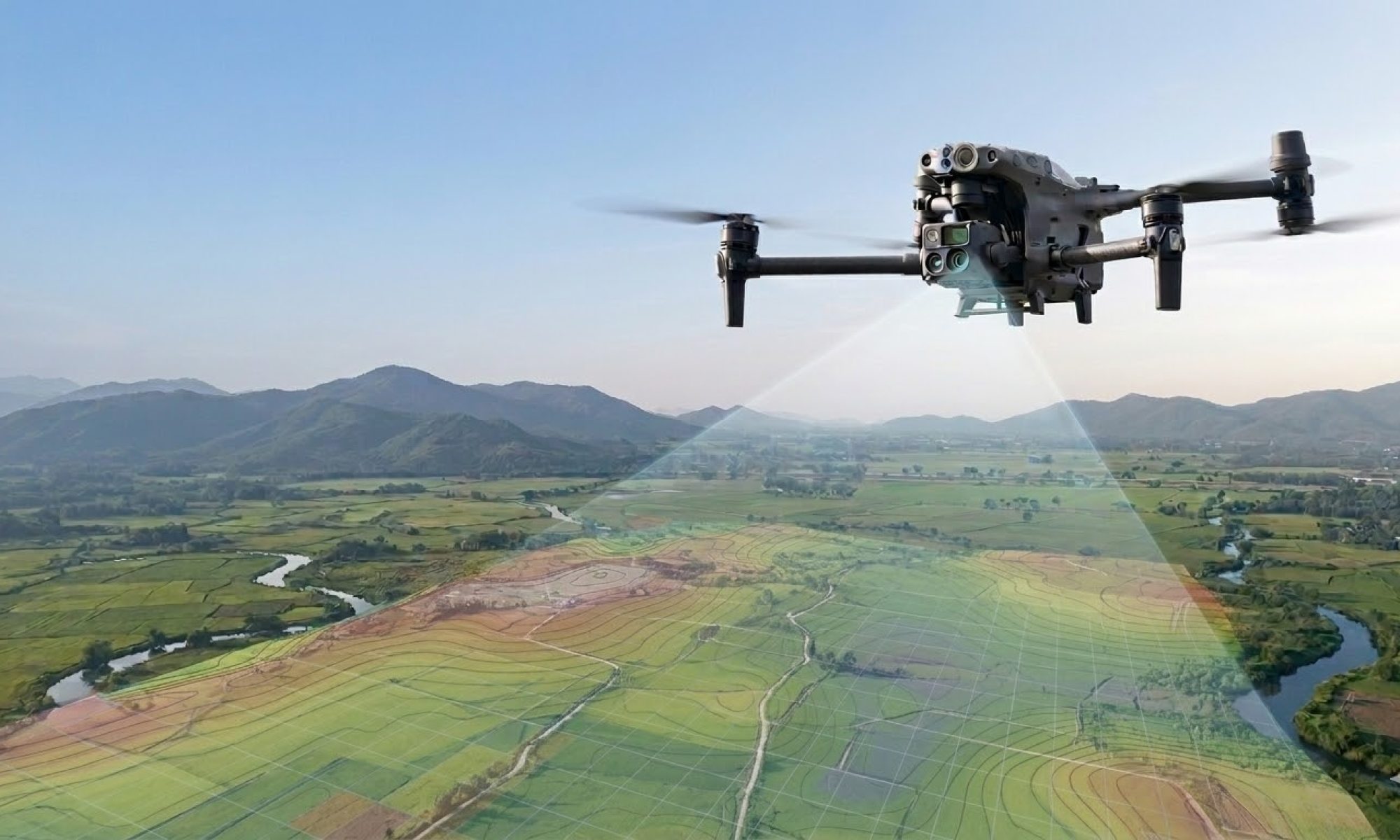
Why a drone on-site is more than just a ‘flying camera’
In the Belgian construction and industrial sectors, drones are often cited as the ‘future’. At Droneview.be, we see that the future is already here. A recent analysis by Metamedia stated that industrial drones can reduce inspection costs by 50%. In our experience, that figure is actually quite conservative.
Anyone who thinks a drone is only for nice overview photos is missing the bigger picture. It’s not about the flight; it’s about the actionable data and the massive safety gains.
1. 50% savings? In practice, often much more
Take a concrete example: inspecting a membrane on a 70-meter high silo (see photo).
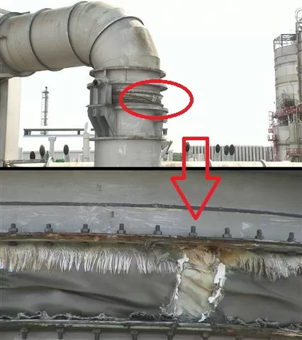
For a technician, this is a complex, high-risk full-day task requiring scaffolding or cherry pickers.
With our drones, we can inspect dozens of silos in just a few hours, before a technician even leaves the ground. Our reports allow technicians to work efficiently, knowing exactly which part on which silo needs replacing. No wasted hours, no unnecessary risks. In this scenario, a 50% cost saving is an understatement.
2. CM-precise mapping: Data ready for immediate use
The true strength of Droneview.be lies in converting raw imagery into actionable intelligence. We use RTK (Real-Time Kinematic) drones paired with an RTK-3 base station. This allows us to collect geodata with centimeter-level precision.
Where surveyors used to spend days on-site, we now generate a full digital twin in a fraction of the time.
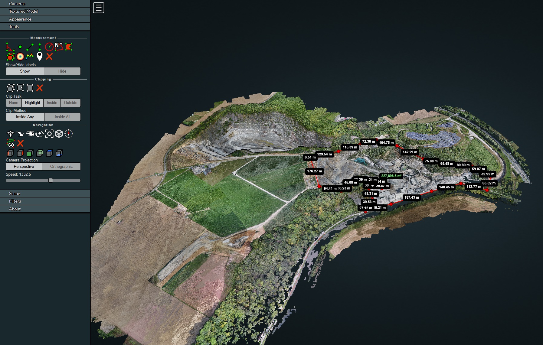
The biggest advantage for our clients? Accessibility. Engineers and architects don’t need to invest in expensive software. We deliver data via a cloud environment (point cloud or orthomosaic), meaning they can perform volume measurements or ‘as-built’ comparisons directly in their browser.
Continue reading “The 50% Savings Promise: How we deploy drones for the Belgian construction sector”