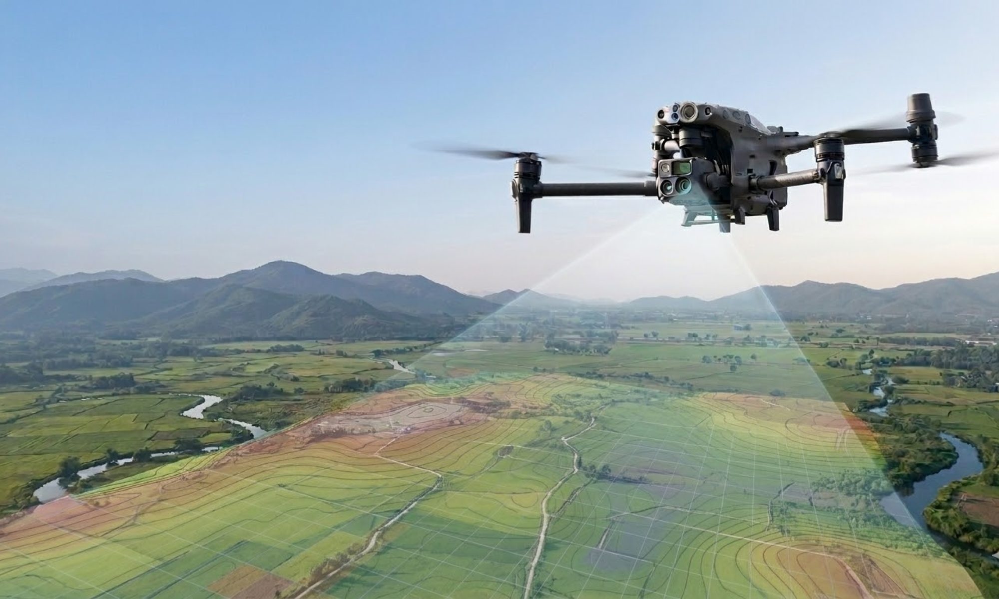
Accurate Inventory of Bulk Materials with Drones
Do you truly know how much stock you have?
Many companies storing bulk materials—sand, gravel, ores, crushed stone, or waste streams—face the same challenge: the actual inventory is never quite certain. Traditional measurement methods are time-consuming, labor-intensive, and often inaccurate. The result? Uncertainty during audits, inefficient logistics, and potential financial risks.
Droneview.be offers a modern solution with professional drone technology and RTK precision.
Why traditional inventory falls short
With classic stockpile measurements, employees are deployed to climb heaps, take manual readings, or make estimates based on delivery notes. This entails three concrete problems:
- Safety Risks: Climbing large stockpiles is dangerous and falls under preventive workplace safety concerns.
- Time Loss: A full inventory of a large site can take days to complete.
- Inaccuracy: Manual measurements or visual estimates can result in discrepancies of 5 to 15%—which has a significant financial impact on large volumes.
How drone inventory works
Droneview.be performs stockpile measurements using professional drones equipped with RTK (Real Time Kinematic) technology. This is what happens during a survey:
- The drone flies an automated flight path over the storage site.
- Millions of measurement points are captured in a point cloud.
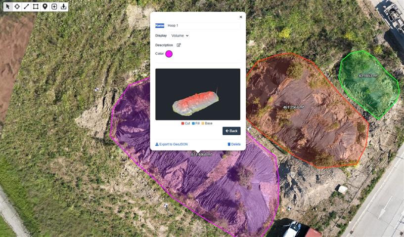
- Based on this data, we generate an accurate 3D model of every stockpile.
- Advanced software automatically calculates the exact volume per stockpile.
The result is a detailed report with volume figures that are accurate to the centimeter—without anyone having to take a single step on the inventory.
The benefits at a glance
– Speed and Frequency
A full drone inventory of a large storage site is typically completed within a few hours. This makes monthly or even weekly measurements feasible—without disrupting daily operations.
– Unrivaled Accuracy
Thanks to RTK-GPS and 3D mapping of inventory goods, we deliver figures reliable enough for financial reporting, audits, and inventory optimization.
– Safety First
No employees on dangerous heaps. The drone does the work from a safe distance.
– Comparable Data Over Time
Because every measurement is performed in the same way, the results are perfectly comparable over time. You can immediately see how your stock evolves—and discrepancies become visible quickly.
Applications: who benefits from drone inventory?
- Raw Material Companies (sand, gravel, rubble)
- Recycling Plants and Sorting Centers
- Port and Logistics Operators
- Agriculture (bulk storage of grains, compost, digestate)
- Mining, Quarries, and Resource Extraction
Conclusion: Drone Inventory as the Standard in Stock Management
Drone inventory of bulk materials is not a thing of the future—it is available today, affordable, and proven accurate. For companies regularly managing large quantities of bulk goods, it is a direct improvement in both operational efficiency and financial control.
Curious about what drone surveys can do for your stockpile management?
Contact Droneview.be for a no-obligation quote.
Keywords: bulk material inventory, inventory management drones, stockpile measurement, volumetric drone survey, 3D mapping inventory, RTK drone survey Belgium