
Illegal drones are increasingly being detected
In recent weeks, drones have been spotted at sensitive locations across several European countries – from airports to energy infrastructures. In some cases, fingers were pointed towards Russia, although this remains unconfirmed.
What is clear is that governments are taking these incidents seriously. In Belgium too, drone surveillance is being tightened, especially near airports, military zones, ports, and border areas. In risk zones, authorities can now detect, intercept, or even disable drones more quickly.
What does this mean for regular drone pilots?
For both recreational and professional pilots, the rules remain the same — as long as you are properly registered and operate within the allowed zones.
However, it is now more important than ever to check before each flight whether you are allowed to fly and to request authorisation in time when operating in controlled or risk areas.
Step-by-step: how to check where you can fly in Belgium
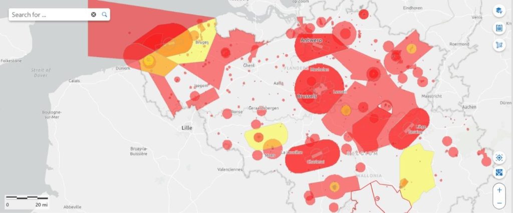
1. Use the official Belgian drone map
Go to https://map.droneguide.be
This interactive map shows at a glance:
- Green zones: free to fly under the Open category
- Orange zones: specific conditions apply (altitude limits or prior authorisation)
- Red zones: restricted or prohibited areas (CTR, military sites, nuclear plants…)
You can select either Open category or Specific category at the top, depending on your certification.
2. Check temporary restrictions (NOTAMs)
Some areas may be temporarily restricted for events, state visits, or military exercises.
Always check the NOTAMs via the
skeyes AIM-METEO briefing.
Alternatively, use
EAD Basic (EUROCONTROL) – free registration required.
If you need to operate in a controlled or military zone, submit your request via the
DAA planner.
Continue reading “Stricter drone control in Europe – How to check where you can fly in Belgium”