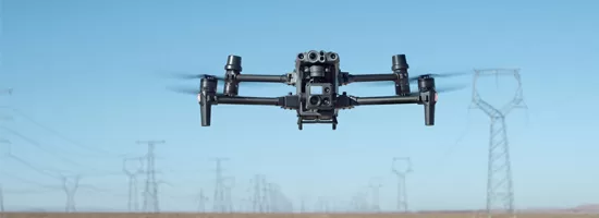
With the deployment of the DJI Matrice 30T, Droneview.be strengthens its services in professional drone inspections, surveying support and data-driven site monitoring.
This drone is not a traditional upgrade, but an integrated measurement platform combining inspection, mapping, thermography and distance measurement in one robust system.
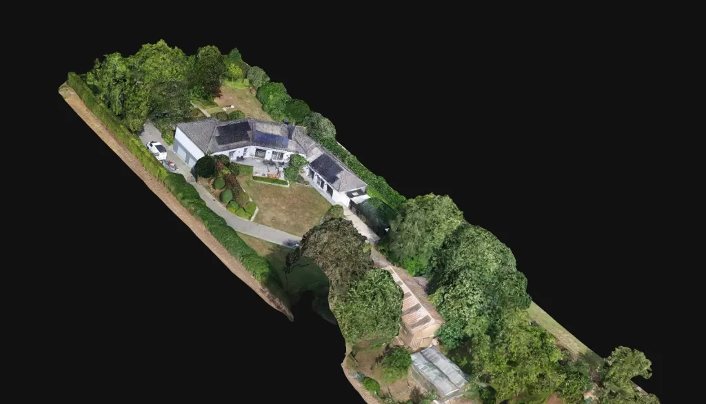
For construction projects, property developers and architects where every centimeter matters, this technology makes a measurable difference.
For complex projects where every centimeter counts, the M30T truly makes the difference.
Centimeter-level mapping accuracy thanks to our own RTK station and FLEPOS
The M30T features built-in RTK (Real-Time Kinematic). For maximum accuracy, Droneview.be operates with a professional in-house RTK base station, connected to the Belgian FLEPOS reference network.
This combination allows us to achieve positioning accuracy of 1 to 3 centimeters, fully compliant with surveying standards.
Using our own RTK station means: