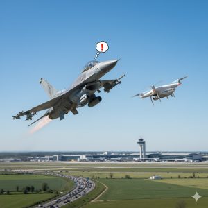
In recent weeks, drones have once again dominated the news. Illegal flights over military zones and even Brussels Airport (Zaventem) led to airspace closures. Understandably, both government and citizens are on high alert. Unfortunately, the consequences of these illegal flights are deeply affecting our legitimate operations. For professional drone pilots like us at DroneView.be, it’s becoming increasingly difficult to work safely and undisturbed.
When a Professional is Suddenly Seen as a Threat
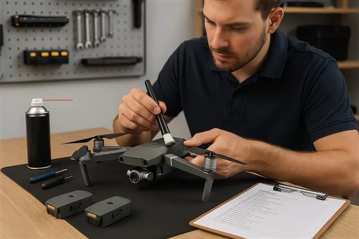
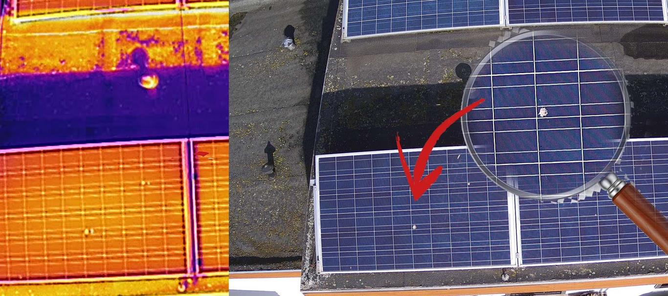
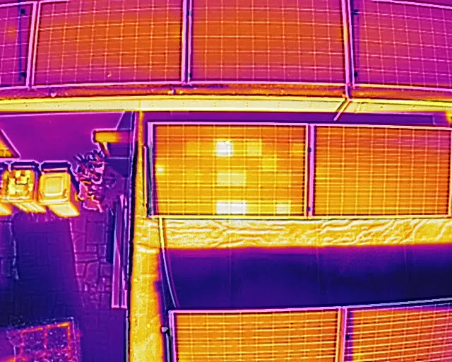
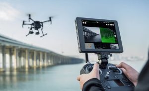
We carry out essential daily inspections of rooftops, buildings, and solar panels—detecting thermal anomalies with precision equipment. All flights are performed legally under EU open category rules, at low altitude, and only under safe weather conditions.
Still, we often encounter public suspicion. Just days ago, during a rooftop inspection, someone shouted “I’ll shoot that drone out of the sky!”—despite our hi-vis vests, clearly marked van, and low, legal flight at 20 meters with a thermal camera. No privacy invasion, no dangerous flying—just professional work. And yet, the police were called.
Communication Starts with the Client
We always try to inform authorities properly: registration ready, pre-flight police notifications (especially during current tensions), clear signage on-site. But we’ve found that things run smoother when the client also informs nearby residents. A quick notice can prevent unnecessary panic or hostility.
Strict Rules… with a Small Breakthrough
Continue reading “Concern and Misunderstanding: How Illegal Drones Obstruct Professional Work”

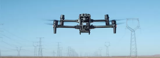
 also performs well in challenging weather conditions: rain, wind, cold – the M210 keeps flying.