Drone Photography and Aerial Inspections in Belgium
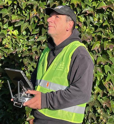
At Droneview.be, we combine advanced technology with years of expertise to provide you with high-quality aerial and thermal inspections. Whether it’s real estate, solar panels, insulation issues or search and rescue operations, our drones offer efficient and cost‑effective solutions.
With our services, we not only help you solve problems but also enable you to make sustainable choices and elevate your projects to the next level. Discover the benefits of working with Droneview.be and be inspired by our innovative approach.
Drone Photography and Aerial Videos
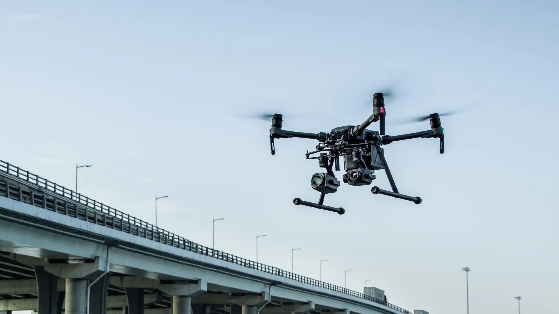
With our advanced drones, we capture stunning aerial photos and videos for a wide range of purposes. Whether it’s real estate, events, construction projects or promotional videos, we deliver the highest quality images. Our drones provide a unique perspective from the sky and can access areas that would otherwise be hard to reach.
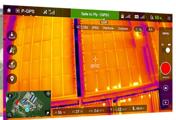
Thermal Inspection of Solar Panels
Did you know that defective or underperforming solar panels can be difficult to identify without the right equipment? With our thermal drone inspections, we can easily detect defects and identify solar panel issues early. Our solar panel inspections help in testing, checking and measuring each panel in an installation, optimizing performance and extending the lifespan of your solar panels. A thermal drone inspection can help with:
- Detecting overheated cells and other defects.
- Identifying problems with bypass diodes.
- Improving the overall efficiency of the solar system.
Detecting Insulation Loss in Homes
Are you facing high energy bills or suspect poor insulation? With our thermal drone inspection, we can quickly detect insulation loss in homes and buildings. By measuring temperature differences, we accurately identify where heat is escaping or cold air is entering. This allows you to make targeted adjustments and save energy.
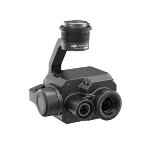
Our thermal inspections are performed with the Zenmuse XT2 camera, one of the most advanced thermal cameras on the market, allowing us to deliver a precise and detailed analysis.
Benefits of Thermal Inspections with Drones
- Quick and safe inspections of hard-to-reach locations such as roofs, solar parks and tall buildings.
- Accurate measurements to detect potential issues like insulation loss or solar panel defects early.
- Cost-saving by preventing inefficiencies and expensive repairs in the long term.
Discover our 3D services
Would you like to map your project in detail or bring a building to life virtually? With drone‑based 3D scans we create accurate models, scale‑correct orthophotos and interactive viewers that require no additional software. Choose below what best suits your needs:
- Real Estate 3D scans – photo‑realistic models and virtual tours for homes and properties.
- 3D measurements & analysis – digital terrain models, volume calculations and precise measurements for construction, agriculture and heritage.
- WebODM viewer guide – learn how to measure, add annotations and export data yourself in our user‑friendly 3D viewer.
At Droneview.be, we support search and rescue operations by providing aerial footage with our advanced drones. Using the Zenmuse XT2 thermal camera and Zenmuse Z30 zoom camera, we can quickly scan large areas and assist in locating missing persons in challenging conditions. We provide support to ground teams through real‑time aerial imaging, increasing the efficiency and speed of the operation. While we are not investigators or rescue workers ourselves, we serve as a valuable tool for rescue teams on the ground.
Why Choose Droneview.be?
At Droneview.be, we combine expertise with the latest technologies to deliver the best results. We believe in quality, efficiency and customer focus. Whether you need a single home inspected or a large solar park checked, we are here to provide reliable services and expert analyses.
Our core values:
- Reliability: Always high-quality results.
- Innovation: Using the latest drone and thermal technology.
- Customer-focused: Tailored solutions for every situation.
Contact Us
Curious about what we can do for you? Contact us today for a free consultation or a customized quote. We’re happy to help you improve the performance of your solar panels or optimize the energy efficiency of your home.
Contact us now for more information.
Follow us on Instagram for the latest updates.
Stay in the loop with our newest projects and news!
Don’t forget to check out our blog and leave your email address on the blog page to receive the latest articles straight to your inbox.