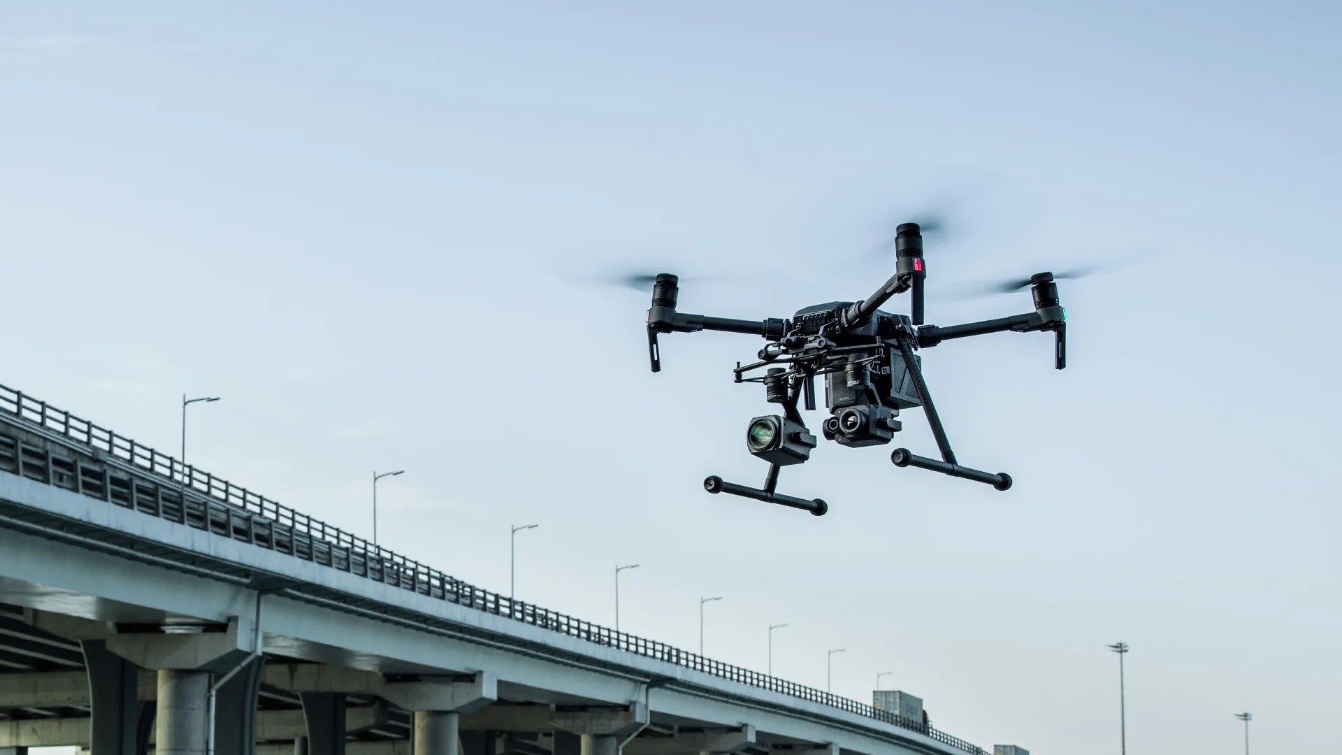
DroneView.be – Turning Drone Images into Clear Insights
At DroneView.be, we don’t just capture drone images—we turn them into clear, actionable data. Whether you’re overseeing a construction site, managing farmland, or documenting heritage buildings, we help you see the full picture and make confident decisions.
🛠️ What We Can Do for You
Detailed 3D Models
Need a realistic model of your project site? Our 3D scans are ideal for architects, contractors, and conservation experts. They make planning, reporting, and collaboration fast and visual—no guesswork, just clarity.
Orthomosaics & Scaled Maps
Our drone maps are razor-sharp, scalable, and accurate. Perfect for surveyors, urban developers, and farmers. Whether you’re managing fields in West Flanders or planning roads in Brussels, we deliver precision you can rely on.
Precise Volume Calculations
Quickly measure volumes of sand, soil, or waste. From excavation tracking to landfill management, our calculations help you save time, reduce errors, and improve planning.
Inspections & Problem Detection
Spot issues before they become expensive. We use high-resolution imagery and smart analysis to detect erosion, water pooling, structural damage, and more—so you can take action early.

🏗️ Who We Work With
Construction & Infrastructure
Track progress, calculate volumes, and visualize plans with 3D models tailored to your site.
Agriculture
Improve crop management with NDVI maps and soil insights—data that actually helps you grow smarter.
Heritage & Conservation
Capture historic sites in high detail with 3D scans that support restoration and documentation.
Environmental Monitoring
Analyze land changes, waterways, and natural erosion with drone data that brings clarity from above.
💡 Why Choose DroneView.be?
We combine high-end drone tech with practical, real-world experience in the field. From thermal inspections to orthophoto mapping, we’ve helped contractors, farmers, and public services across Belgium get the data they need—fast, reliable, and fully tailored.
📞 Let’s Talk
Curious how we can help your project?
Whether you’re working on a building site, farmland, or cultural monument—reach out today and let’s explore what drone data can do for you.
Contact us for advice or what we can do for you.